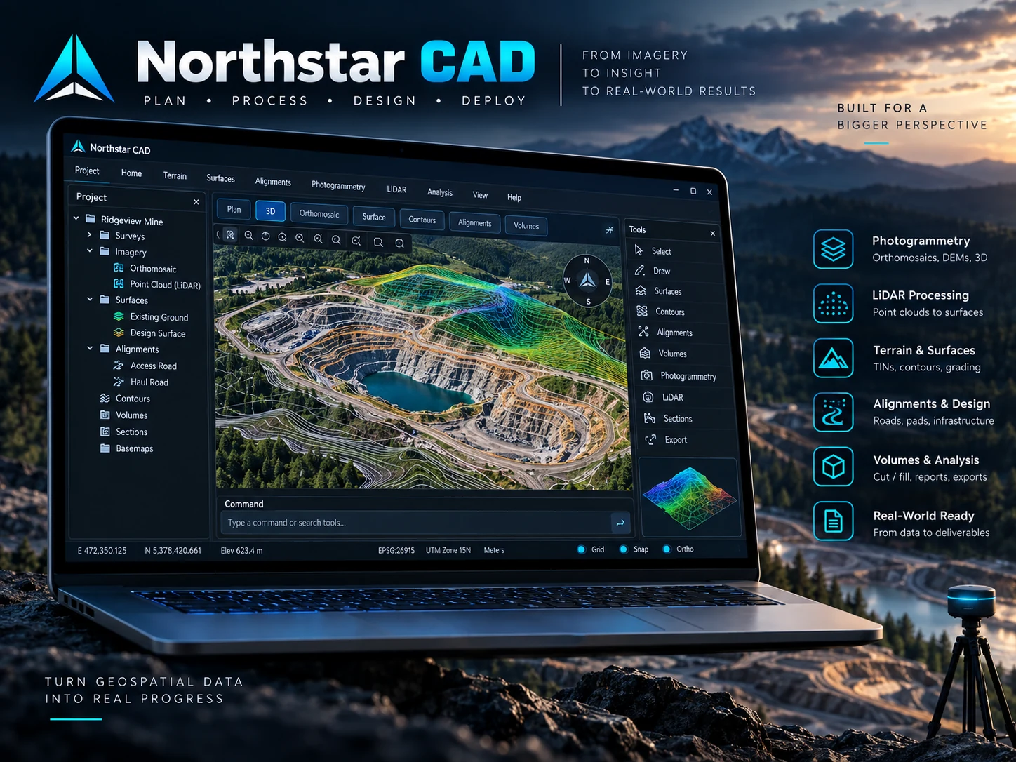
Northstar CAD · Windows
Desktop processing, terrain and design
Present the Windows application with a polished terrain-focused interface that communicates CAD, LiDAR, orthomosaic, surface and quantity workflows immediately.

AeroGeo North Software · Windows + Android
From raw field data to terrain, CAD and deliverables.
A survey-first desktop and field workflow for drafting, terrain inspection, drone processing, LiDAR, coordinate systems, RTK collection and prompt-driven geometry. The Windows application and Android companion share Northstar .nscad projects so field and office work can stay in the same operational model.
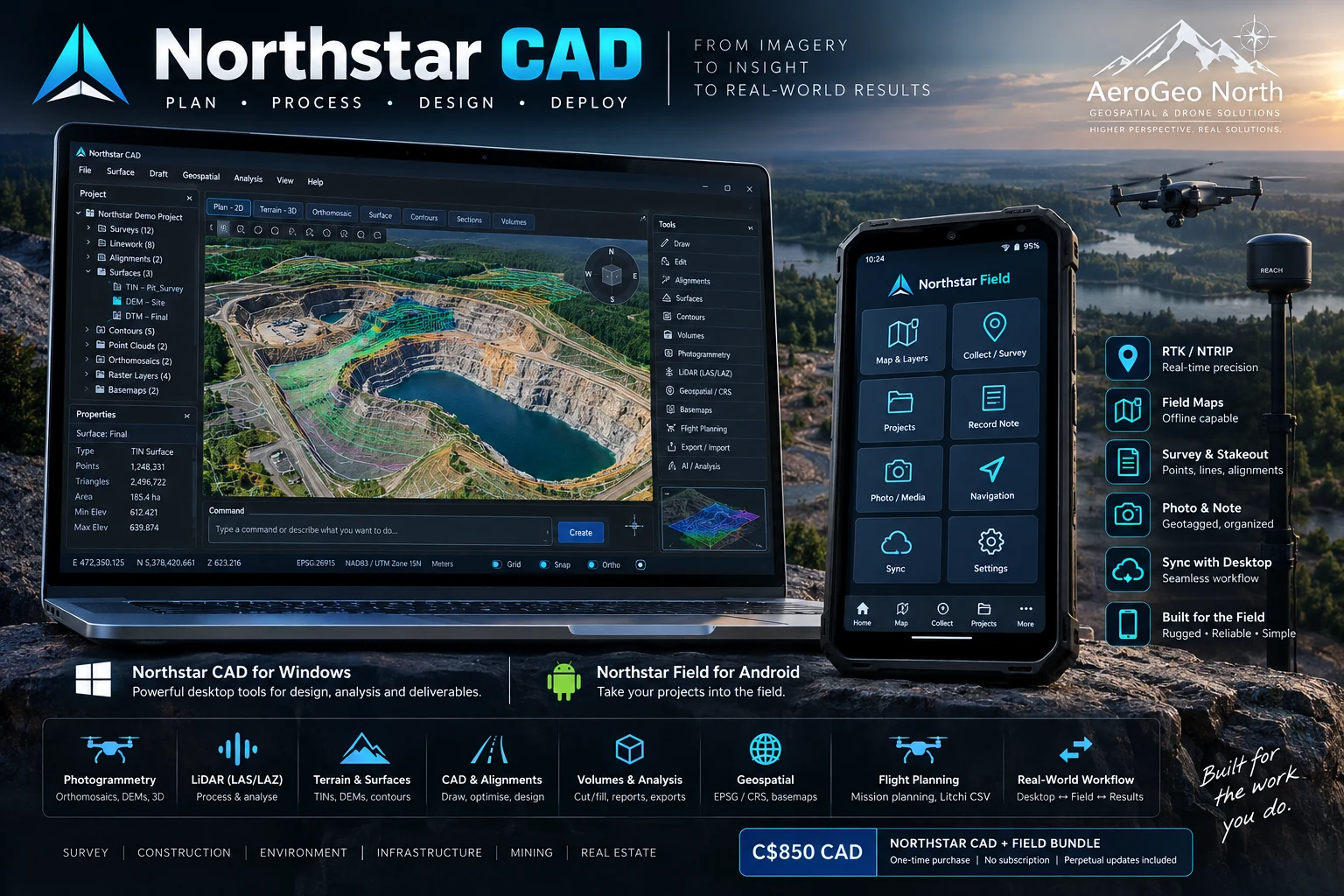
Updated product visuals
These refreshed visuals present the software in a cleaner, more premium way for the sales page, showing the Windows processing environment and the Android field workflow separately as well as together.
Northstar CAD · Windows
Present the Windows application with a polished terrain-focused interface that communicates CAD, LiDAR, orthomosaic, surface and quantity workflows immediately.
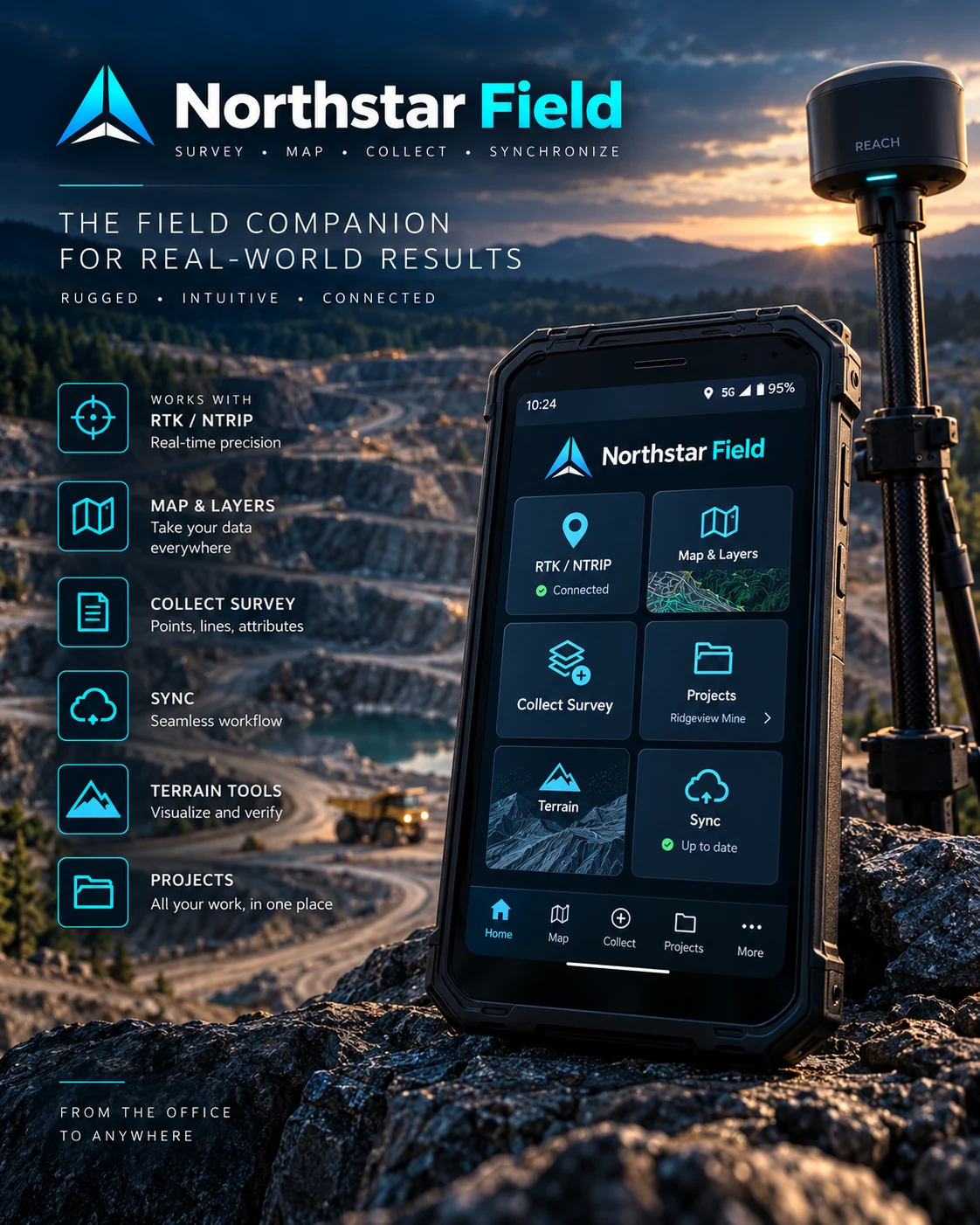
Northstar Field · Android
Show the field companion as a modern mobile app for RTK/NTRIP, mapping, point collection, syncing and field-ready terrain tools.
Integrated workflow
Northstar is designed around practical survey and geospatial work: create and edit geometry, manage coordinate systems, inspect terrain, move projects to the field, then bring field changes back to the desktop.
Create and edit lines, polylines, polygons, arcs, roads, ditches and 3D linework from manual tools or validated commands.
Import or build DEM, DTM, DSM and TIN surfaces, inspect them in 3D and edit terrain while retaining a survey-oriented project structure.
Load images, apply GCP/check-point data, optimize the camera network and return geospatial products to the CAD workspace.
Process point-cloud data into DTM/DSM surfaces and derive editable terrain intelligence.
Assign and reproject EPSG/PROJ coordinate systems, search geographic areas and work over online imagery or topographic basemaps.
Create a flight grid inside a selected polygon and export a Litchi waypoint CSV for mission setup.
Northstar CAD · Windows
Northstar Field · Android
.nscad project workflow with the desktop application.Field-to-office continuity
Northstar Field is the mobile companion to Northstar CAD—not the separate AeroGeo FieldBook documentation product. Survey/CAD geometry, points and supported surfaces can move through the shared Northstar project format while FieldBook remains focused on safety, daily records and QC documentation.
Import survey/drone data, set the CRS, create surfaces and prepare CAD geometry.
Open the project on Android, capture points, connect an RTK/NMEA rover and inspect terrain.
Bring the updated project back to Northstar CAD for processing, quantities, drafting and exports.
Responsible use
Northstar is a CAD, survey, visualization and processing-assistance platform. It does not replace legal survey, professional engineering design, statutory approvals or project-specific QA requirements. Current alignment smoothing is intended to reduce jagged geometry; it is not yet a complete spiral/vertical-curve road-design system.
Direct commercial bundle
One licensed user receives the Northstar CAD Windows application and Northstar Field Android companion with perpetual software updates included. The C$850 licence is a one-time purchase with no recurring software subscription. Future updates AeroGeo North releases for the licensed Northstar CAD + Field product are included at no additional licence charge; separately branded products, optional paid services and third-party software/services are not included.
FAQ
No. Northstar Field is the Android survey/CAD companion for Northstar CAD. AeroGeo FieldBook is a separate safety-first documentation and QC application.
No. Third-party software remains separately licensed. Northstar can coordinate supported workflows with those installed products where stated.
Yes. The desktop application includes photogrammetry workflow management, GCP/check-point handling and LiDAR LAS/LAZ processing. Photogrammetric reconstruction uses a supported external backend such as Metashape Professional or OpenDroneMap/Docker.
Northstar Field supports Bluetooth Classic NMEA rover input and NTRIP correction forwarding for compatible receivers. Receiver compatibility and field procedures should be verified before production use.
Yes. The one-time Northstar CAD + Field licence includes perpetual update entitlement: future updates AeroGeo North releases for the licensed Northstar CAD + Field product are included at no additional licence charge. No recurring software subscription is required. Separately branded future products, optional paid services and third-party software/services are excluded.
No. Northstar provides CAD, geospatial, terrain and processing tools. Users remain responsible for professional judgment, survey control, project standards, design criteria and required approvals.