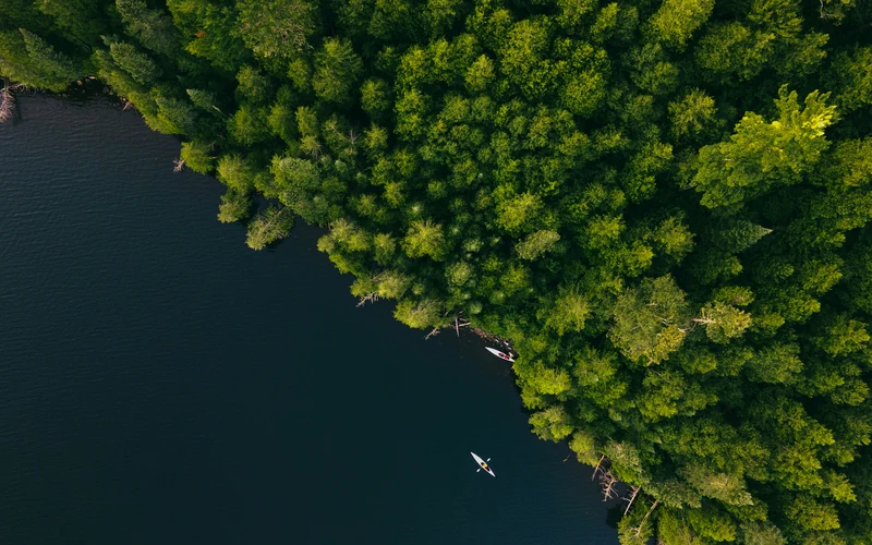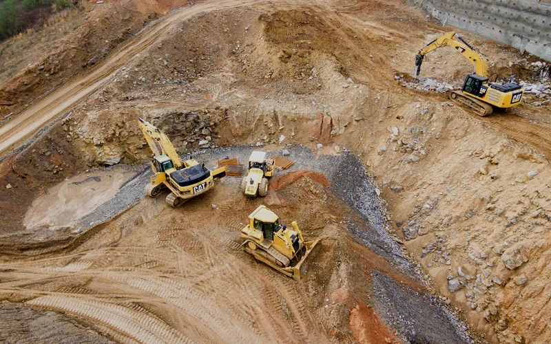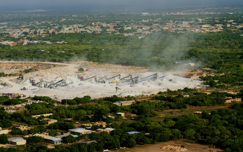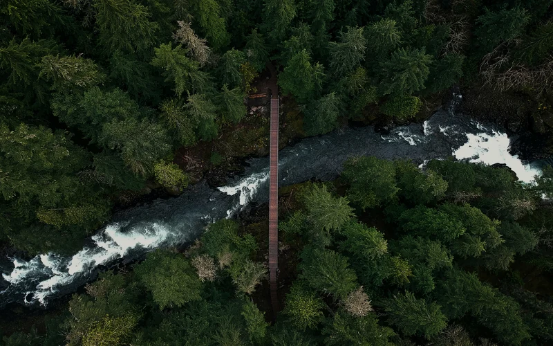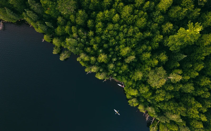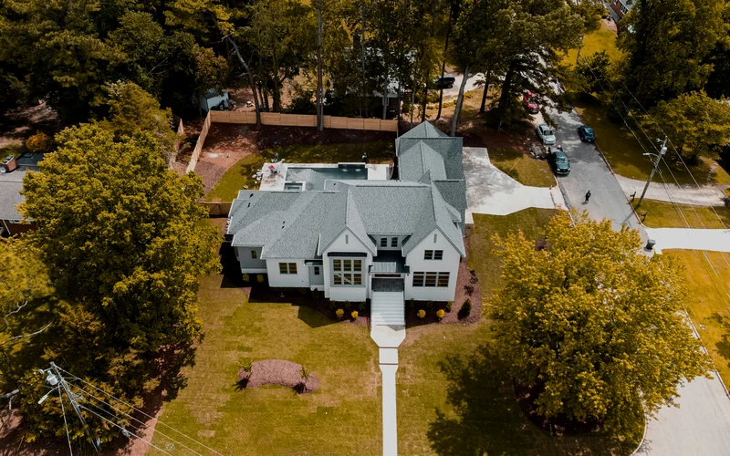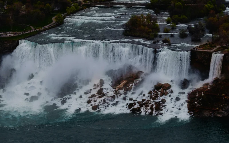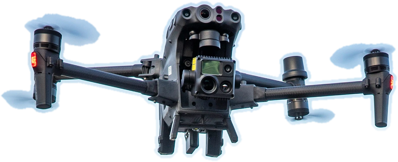
Illustrative example imagery

Geospatial & Special Drone Operations

Geospatial
Intelligence
for Complex Projects

Drone mapping, construction layout support, GNSS data collection, GIS, inspections, remote sensing and technical visualization throughout Northwestern Ontario and beyond.

Northwestern
Ontario based
Advanced
RPAS operations
RTK and PPK
positioning
Professional GIS and CAD
deliverables
Available for
remote projects

Capabilities

Our Core Services

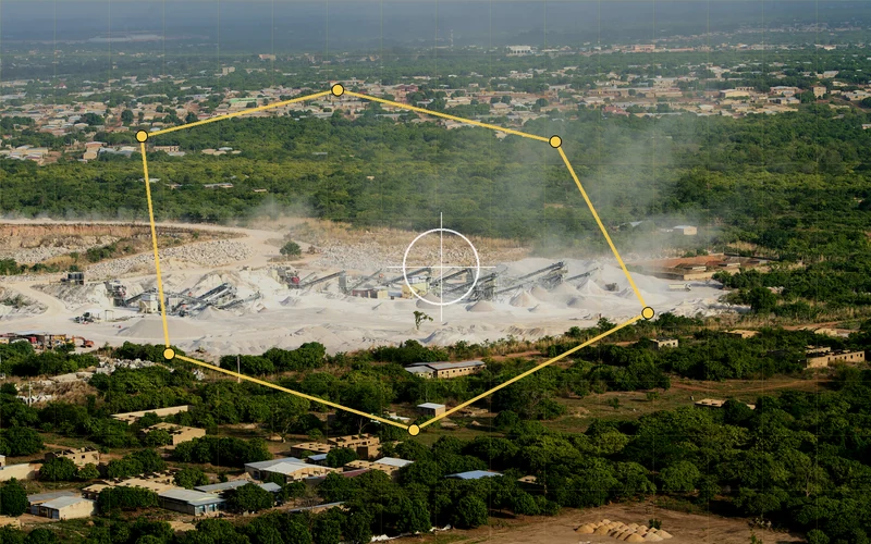
Illustrative aerial mapping exampleExample imagery

Drone Mapping & Photogrammetry

Orthomosaics, surface models, point clouds and 3D site documentation built for practical project use.

Typical deliverables
  • Orthomosaics and map tiles
  • DSM, DTM and contours
  • Point clouds and 3D models
  • CAD and GIS-ready outputs
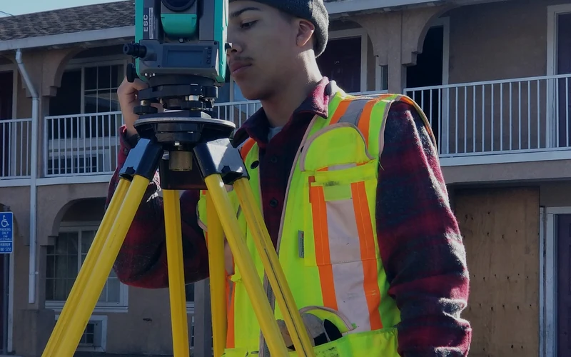
Illustrative GNSS field data exampleExample imagery

Construction Layout & Site Data

RTK GNSS field positioning, layout support, grade checks, as-built collection and progress measurements.

Typical deliverables
  • Field layout support
  • Topographic data collection
  • Grade and elevation checks
  • As-built point and linework
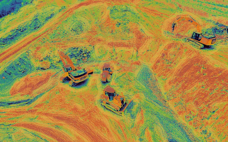
Illustrative terrain and earthworks model exampleExample imagery

Volumes & Earthworks

Stockpile calculations, cut-and-fill analysis, surface comparisons and progress tracking for earthworks.

Typical deliverables
  • Stockpile volume reports
  • Cut-and-fill calculations
  • Surface-to-surface comparison
  • Progress and quantity summaries
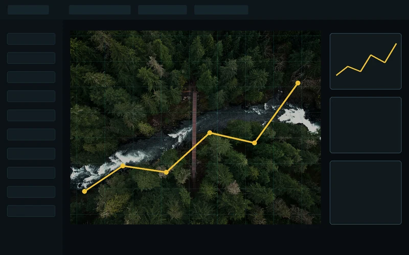
Illustrative GIS dashboard exampleExample imagery

GIS & Digital Mapping

Custom maps, mobile GIS, spatial databases and field-ready mapping designed around project workflows.

Typical deliverables
  • Web, print and mobile maps
  • Offline field mapping packages
  • Spatial databases and layers
  • CAD and GIS conversion
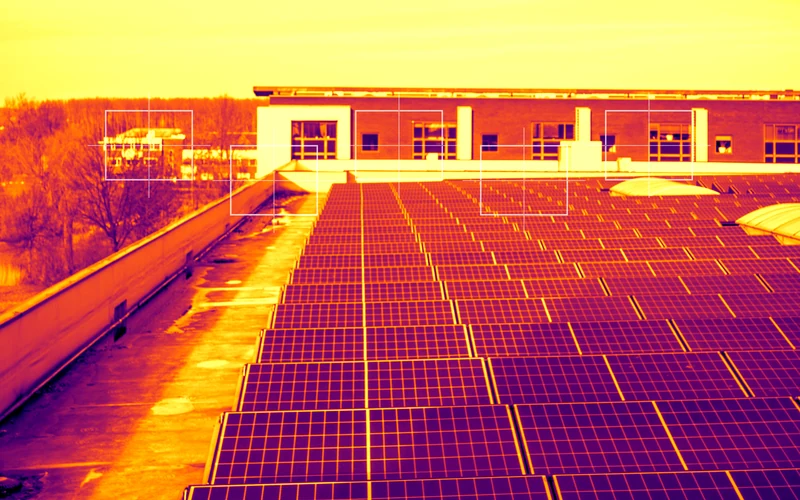
Illustrative thermal inspection exampleExample imagery

Inspection & Remote Sensing

Thermal imaging, infrastructure inspection, environmental monitoring and difficult-access data collection.

Typical deliverables
  • Thermal image sets
  • Condition documentation
  • High-resolution inspection imagery
  • Georeferenced observations
Illustrative aerial media exampleExample imagery

Drone Media & Visualization

Aerial photography, cinematography, FPV footage and project visuals for communication and presentation.

Typical deliverables
  • Aerial photo and video
  • FPV and cinematic sequences
  • Project progress media
  • Presentation-ready visual assets

Sector Experience

Industries
We Serve

Flexible field collection and deliverables for technical, industrial and remote environments.

Illustrative construction sector exampleExample

Construction
& Civil

Illustrative mining and aggregates exampleExample

Mining &
Aggregates

Illustrative municipal infrastructure exampleExample

Municipal &
Infrastructure

Illustrative forestry and environment exampleExample

Forestry &
Environment

Illustrative real estate exampleExample

Real Estate &
Development

Illustrative tourism and media exampleExample

Media &
Tourism

Project Process

From Field Collection to Final Deliverable

  1. 1

    Field Data Collection

    Project-specific acquisition using drones, GNSS and field equipment.

  2. 2

    Data Processing

    Raw observations are transformed into organized, usable information.

  3. 3

    Accuracy & Quality Control

    Checks support reliable geometry, consistency and project confidence.

  4. 4

    CAD & GIS Integration

    Data is prepared for client systems, drawings and field workflows.

  5. 5

    Project-Ready Deliverables

    Clear outputs designed for decisions, communication and execution.

Illustrative survey fieldwork example
Illustrative example imagery

Why Choose AeroGeo North

  • Specialized geospatial and drone equipment
  • RTK and PPK positioning workflows
  • Field-to-finish project capability
  • Flexible deployment for remote locations
  • Deliverables compatible with CAD, GIS and mobile platforms
  • Direct communication with one project contact
NorthStar Project OS app icon

AeroGeo North Software

NorthStar Project OS

Find the opportunity. Build the plan. Prove the work.

A local-first Android project operating system for funding screening, project progression, evidence control and secure on-device records.

  • One-time C$49.99 plus applicable GST/HST
  • Single-user Android licence · no subscription
  • English and French interface guidance

Start a Conversation

Have a site, structure or terrain problem that needs better data?

Tell us what you are working on. AeroGeo North will identify an efficient collection method and provide practical, project-ready deliverables.

Based in Fort Frances, OntarioServing Northwestern Ontario and remote project locations.

Request a Project Quote

Share the basics and we will follow up directly.

Submitting this form sends the enquiry securely through Netlify Forms.